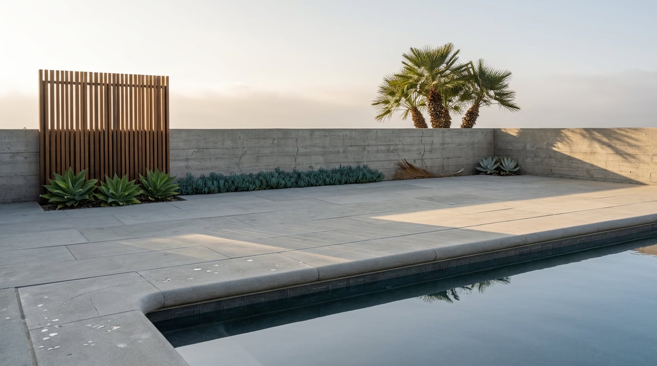
A Local Guide to the Palos Verdes Estates Shoreline Preserve
September 3, 2026
September 3, 2026
Most people who live along Paseo del Mar have a version of this walk memorized: out the door, onto the blufftop path, ocean on one side, ice plant and sage scrub on the other, back home in time for coffee to still be warm. It's a good walk. It's also, for most of the people who do it, the only version of this coastline they've ever actually seen.
The Palos Verdes Estates Shoreline Preserve isn't one trail. It's a blufftop corridor stacked on top of a completely different beach-level world that only shows itself when the tide pulls back far enough to let you down there. If you've never gone below the bluff, you haven't really walked this stretch of coast. You've walked past it.
The Shoreline Preserve runs about four and a half miles along the coast, from Malaga Cove down to just south of Resort Point, and the city has left it largely undeveloped on purpose. From the top, the Blufftop Trail gives you the postcard version: wide views, a breeze that never quite stops, and enough distance from the water that you'd never guess what's happening at sea level.
What's happening at sea level is a different landscape entirely. At low tide, the rocky shoreline below Bluff Cove and Lunada Bay opens into stretches of exposed tide pool that simply don't exist twelve hours later. The two walks share a parking lot and a zip code. They don't share much else.
Getting from the top walk to the bottom one isn't obvious, and that's part of why so few regulars bother. The routes down are steep, unmarked in any official way, and mostly known by the cross streets that lead to them:
None of these are marked with signage that tells you where you're headed. They're the kind of thing you learn from someone who already knows, which is most of the reason this piece exists.
Once you're down, the payoff is real. The rocky shelf below Bluff Cove and the Shoreline Preserve exposes tide pools with sea stars, anemones, and hermit crabs at the lower tide marks, and the entire stretch is a marine preserve, which means nothing gets removed. No shells, no rocks, nothing in a bucket. It's look, don't take, and the rule is enforced because the preserve depends on it.
If you want a landmark to walk toward rather than just wandering the rocks, head south from Bluff Cove along what's known locally as the Shipwreck Trail, which ends near the remains of a freighter that ran aground on the Peninsula in 1961 and has been rusting on the rocks near Palos Verdes Point ever since. It's not much to look at from a distance. Up close, it's the kind of thing that turns a routine low-tide walk into a destination.
One quirk worth knowing if you're timing a walk around the tide: Palos Verdes Estates doesn't have its own tide station. The charts residents actually use are calculated from King Harbor in Redondo Beach, less than two miles up the coast, which is close enough that the numbers hold. It's a small reminder of how tightly this stretch of coastline is tied to its neighbors, for better and for worse.
That neighborly overlap cuts both ways, and it's the source of a mix-up I hear constantly from residents fielding questions from out-of-town guests. Just south of Palos Verdes Estates, in Rancho Palos Verdes, a slow-moving landslide in the Portuguese Bend area has been accelerating since 2022 and 2023, and it has closed a real portion of that city's trail network.
| Palos Verdes Estates Shoreline Preserve | Rancho Palos Verdes Portuguese Bend Reserve | |
|---|---|---|
| Status | Open, no landslide-related closures reported | Long-term closures in effect |
| Scope of closures | None reported | At least 13.5 miles closed across the Portuguese Bend, Abalone Cove, Filiorum, and Forrestal reserves by the city's own count, a figure Rancho Palos Verdes' own newsletter has more recently put closer to 16 miles as ground movement continues |
| Cause | Outside the landslide zone | Accelerated land movement traced to heavy rainfall in 2022 and 2023 |
Rancho Palos Verdes city manager Ara Mihranian has described the damage bluntly, noting crews can't always get across certain sections at all "because of the open fissures in the ground." The city has documented the financial cost too. Parking revenue at Abalone Cove Park dropped from roughly $150,000 a year to around $11,000, and Del Cerro Park's parking revenue fell from about $32,000 in fiscal year 2022-23 to roughly $4,000. That's a different reserve system, a different city, and a different set of trails entirely.
The Palos Verdes Estates Shoreline Preserve sits outside that landslide zone. If a friend visiting from out of town mentions they read about Peninsula trail closures, the honest answer is that they're thinking of a different stretch of coast a few miles south, not the one you walk every week.
The Shoreline Preserve's biggest actual risk isn't geological. It's bacterial, and it only shows up after rain. Los Angeles County and the Beach Cities, which includes Palos Verdes Estates and Rancho Palos Verdes, jointly test ocean water weekly year-round, and Malaga Cove has been flagged before. In one advisory, the county closed the entire Malaga Cove swim area after bacteria levels exceeded state health standards following a storm. The county's advisory system is still active today, with a countywide bacteria warning issued as recently as August 25, 2026, covering multiple beaches after elevated levels were detected.
The practical habit worth building, especially heading into a fall with any real rain, is a quick check of the county's beach water quality page before a swim, not before a walk. The bluff and the tide pools are unaffected by runoff advisories. The water itself is a different question, and it's the one variable in this whole stretch of coast that actually changes week to week rather than tide to tide.
If you've lived here long enough to stop noticing the blufftop path, the fix isn't a new trail. It's timing the same one differently, checking a Redondo Beach tide chart, picking a day near a lower low, and going down through Cloyden Road or around Flat Rock Point instead of staying up top. The preserve you already know has a second half most people never see, and it's been sitting there the whole time, waiting for the water to move.
If you're thinking about what a home along this stretch of coast is actually worth, or what it takes to buy into a street with its own private route down to the tide pools, Lisa Moule Realty knows this coastline block by block. Schedule your South Bay consultation and let's talk about what you're actually looking for.
Stay up to date on the latest real estate trends.
Get assistance in determining current property value, crafting a competitive offer, writing and negotiating a contract, and much more. Contact Lisa today to discuss all your real estate needs!